Hydrological Intelligencefor critical minerals.
Geodel provides real-time hydrological intelligence for critical mineral operations, enabling mining companies to monitor, predict, and optimize the water systems that drive extraction, recovery, and operational performance.
3
92%
4
96%
Water Intelligence Powers Modern Mineral Infrastructure.
Hydrology & extraction.
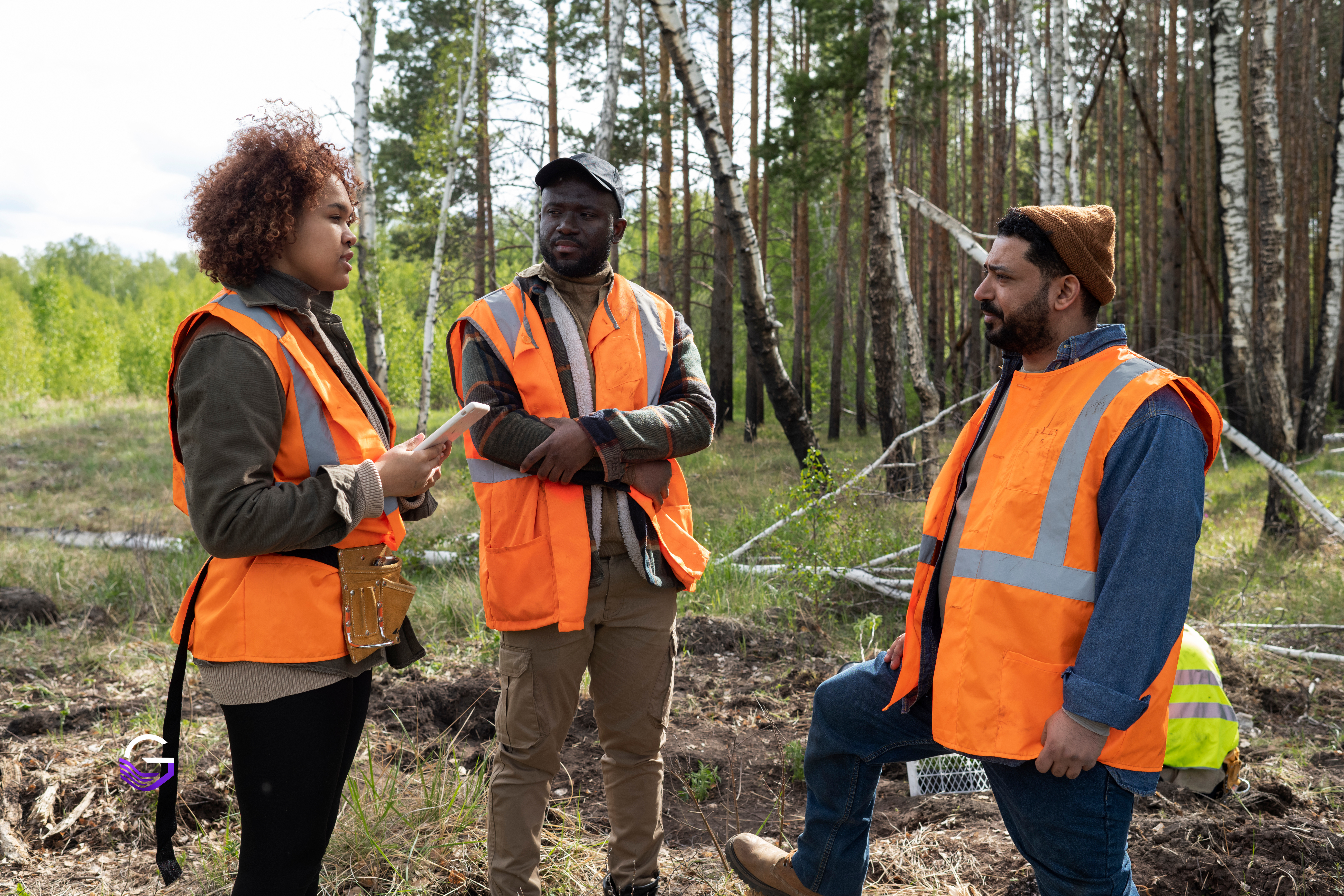
Critical mineral operations rely on water systems for extraction, processing, recovery, and long-term operational continuity. Geodel delivers real-time visibility across resource-constrained sites.
Tailings & optimization.
Geodel delivers the intelligence infrastructure that connects hydrology, mineral systems, and operational decision-making to strengthen safety and operational continuity.
Operational Intelligence for Water-Constrained Mineral Systems.
Geodel transforms hydrological and operational data into actionable intelligence for critical mineral infrastructure.
Water Movement
Continuously monitor and trace flow rates, recycling performance, and active transport lines across mine infrastructure.
Groundwater Behavior
Analyze dynamic aquifer stress, drawdown trends, and recharge indicators in extraction zones.
Tailings Conditions
Track seepage hotspots, safety thresholds, and water storage capacities inside storage structures.
Water Recovery
Optimize recovery rates and resource consumption to maximize operational efficiency and resilience.
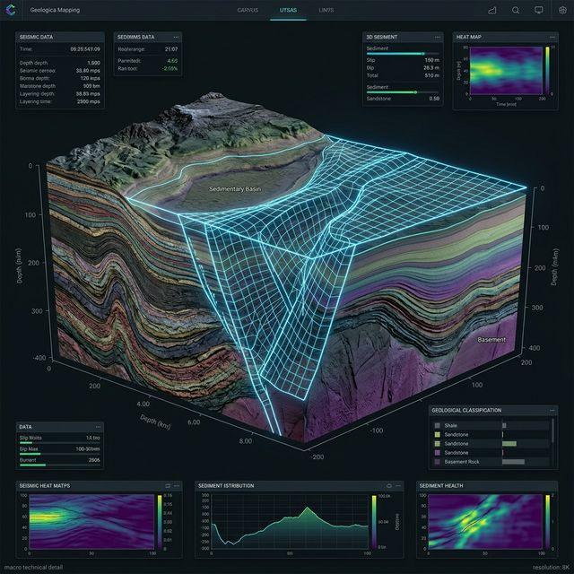
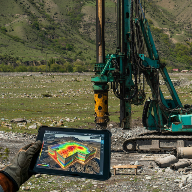
Real-Time Water Analytics
Our platform processes raw telemetry, ground telemetry, and meteorological data into unified 3D flow sheets. Identify hydrological risk indicators, monitor recycling rates, and trace tailing status in real-time.
Supporting the Critical Mineral Economy.
Geodel delivers hydrological intelligence across the mineral systems driving the future global economy.
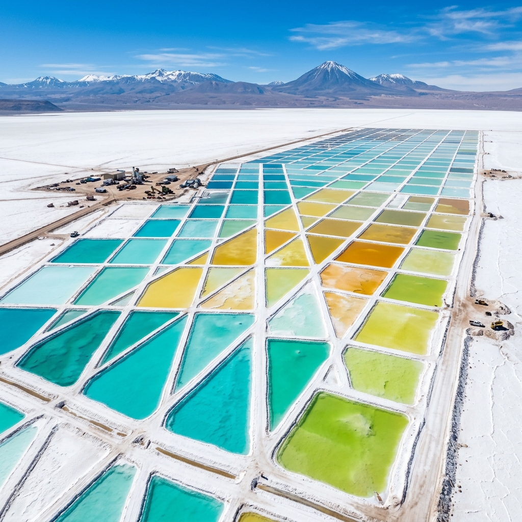
Lithium
Hydrological intelligence for brine systems, groundwater management, and extraction infrastructure.
Explore Solutions →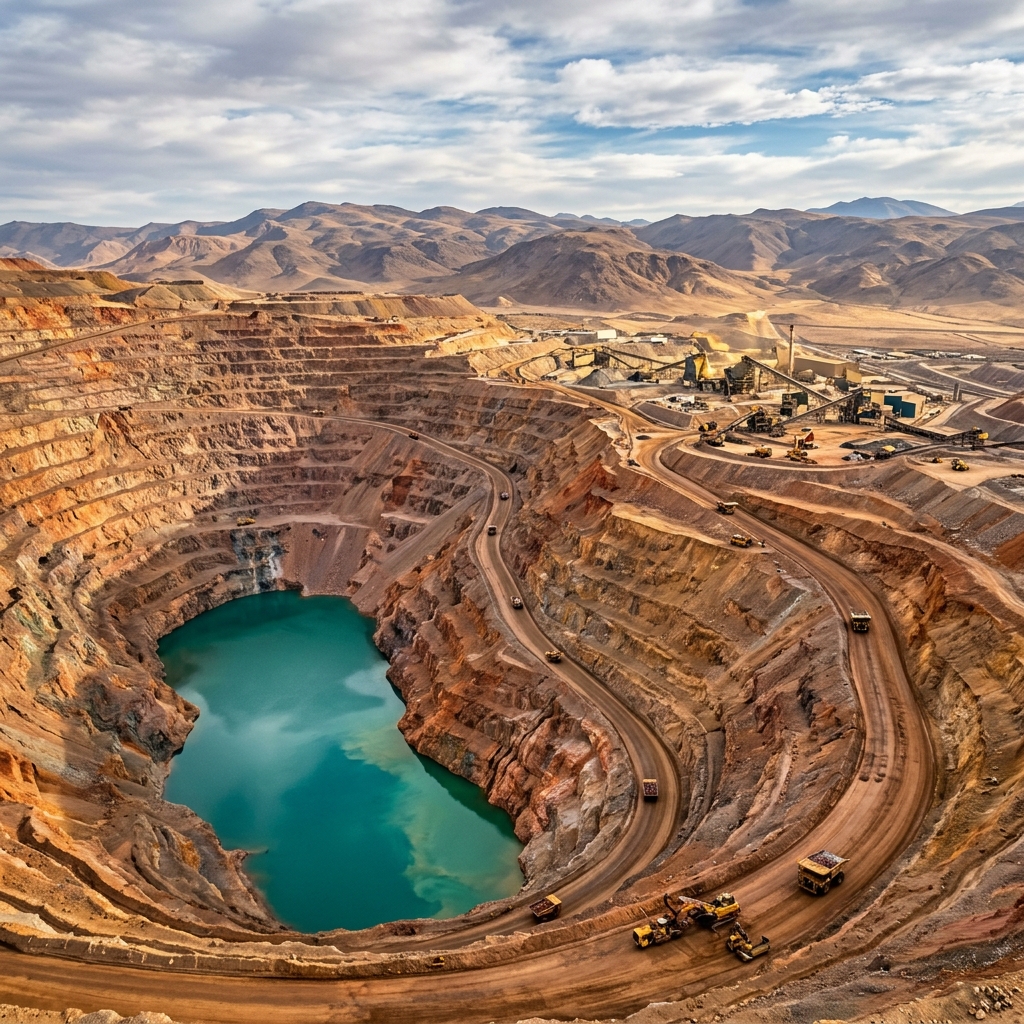
Copper
Water system analytics for large-scale extraction and tailings-intensive operations.
Explore Solutions →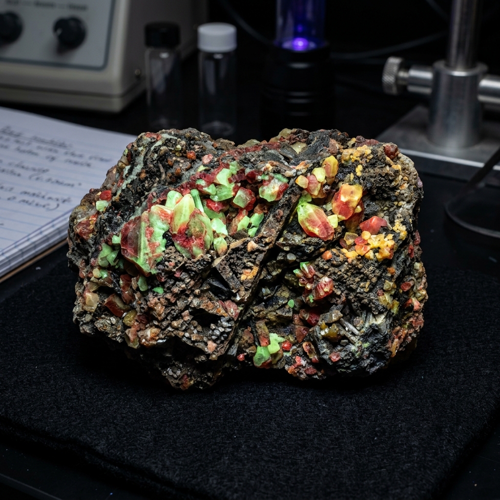
Rare Earths
Operational intelligence for environmentally sensitive mineral systems.
Explore Solutions →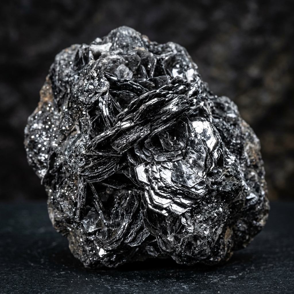
Graphite
Resource optimization and water intelligence for battery-material infrastructure.
Explore Solutions →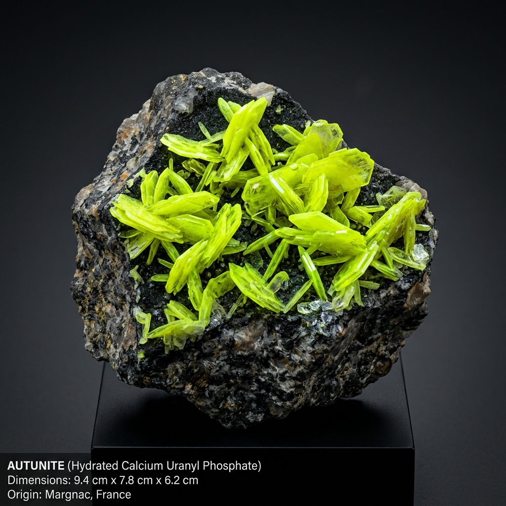
Uranium
Groundwater and hydrological monitoring for complex extraction environments.
Explore Solutions →Building the intelligence layer for critical minerals.
The future of mineral infrastructure depends on predictive systems, operational visibility, and hydrological intelligence. Geodel connects hydrology, mineral systems, and predictive analytics.